Book of discoveries · 161
Geodetective: instructions 5
Zoom with the mouse wheel inside the image or use the buttons. Drag the enlarged image with the hand cursor; swipe to move on a touchscreen.
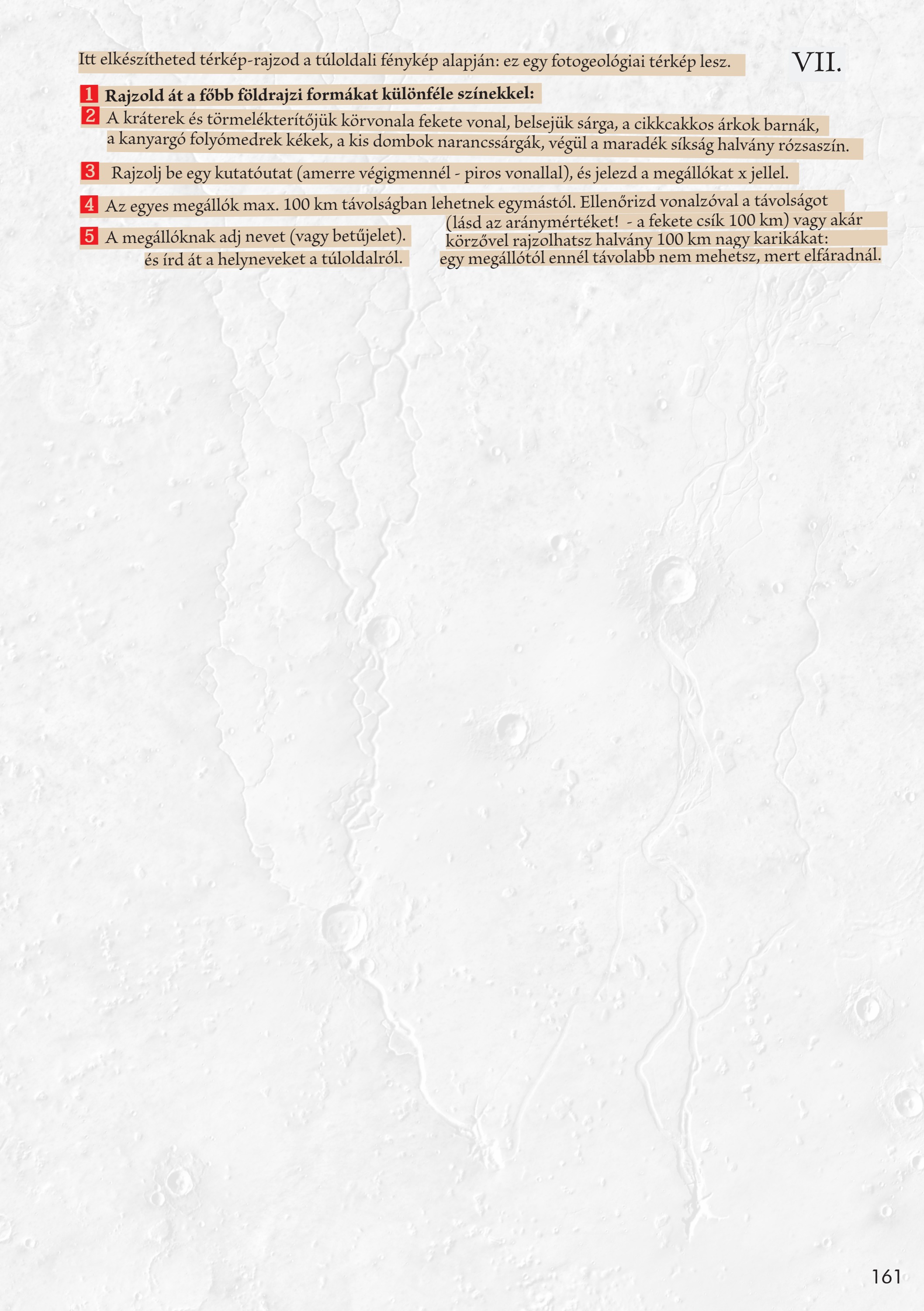
Trace the main geographical features in different colours. Outline craters and ejecta in black and fill them yellow; use brown for zigzag troughs, blue for winding river channels, orange for small hills and pale pink for the remaining plain. Draw an exploration route in red and mark stops with X. Stops must be no more than 100 kilometres apart. Check distances with a ruler or compass: the black scale bar represents 100 kilometres. Give the stops names or letters and copy the place names from the facing page.
Your observations
Your notes are saved in this browser.