Virtual Mars Globes

Arabia Terra

Arabia

Origin of name:
Country bordering on Aeria (Egypt).
A név eredete:
északon Syria és Palaestina, nyugaton Aegyptus és az arab tengeröböl, délen az Erythraeum tenger, keleten a perzsa tengeröböl, északkeleten Babylonia és Mesopotamia a határa. Az aegyptusiak Punt-nak nevezték, a perzsák Arabájának. 


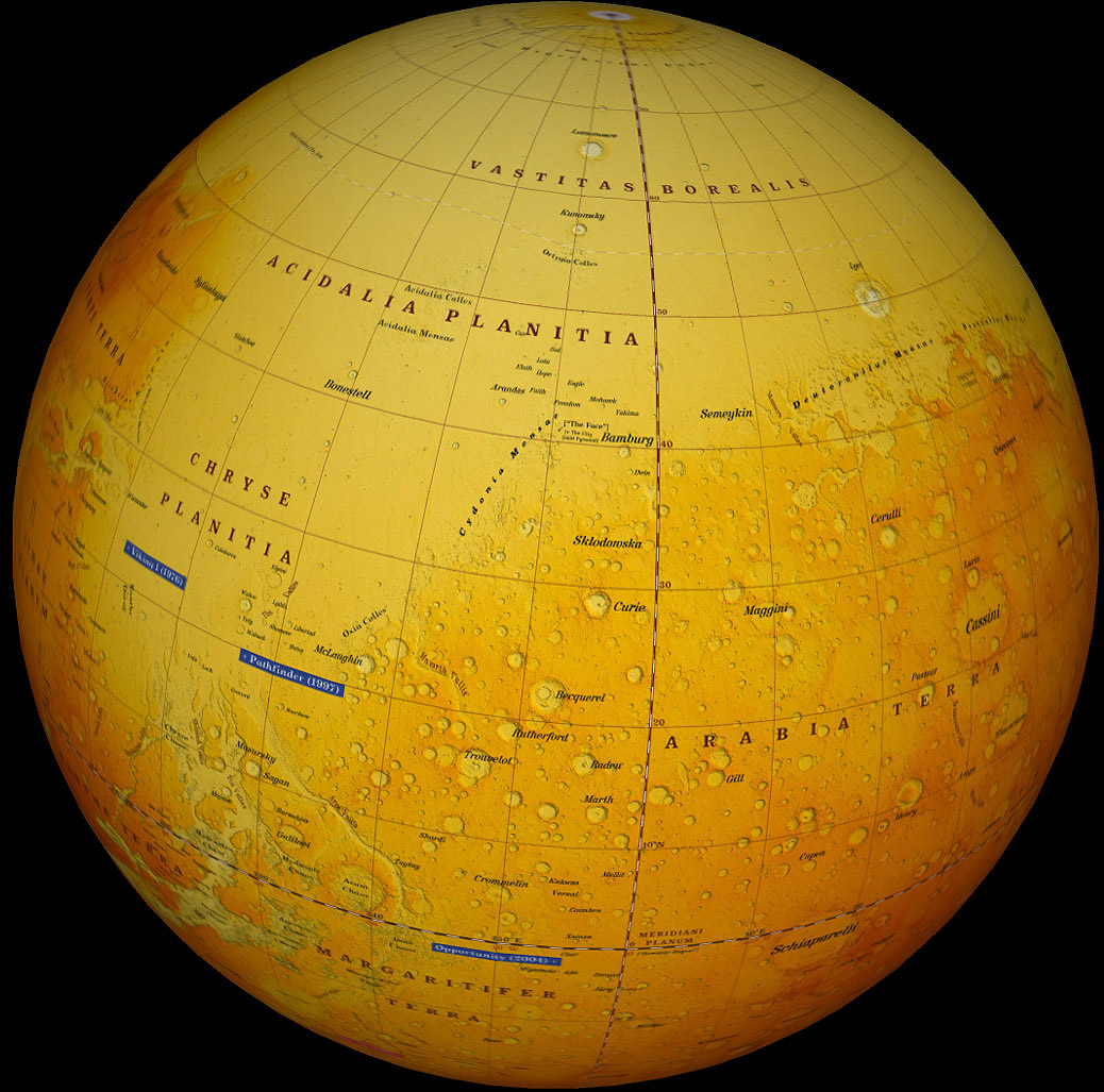
Geologic description and interpretation: NW Arabia Terra  is primarily composed of degraded, Noachian age cratered terrain that was formed during the era of heavy bombardment, which ended ~3.7 Ga. It has several unique properties: Extremely Degraded Surface, Lack of Valley Networks, Low Elevation, Thin Crust, Subdued Terrain suggesting that large areas of it are partially buried. [1] Arabia Terra has been commonly grouped with the southern highlands because of its ancient cratered surface, though it exhibits lower topography and a thinner crust than typical of the highlands. Arabia Terra is separated from both the highlands and the lowlands by distinct breaks in slope. A strong topographic similarity to multi-ring structures around other giant impact basins suggests a similar origin for this province. Arabia Terra can be classified as a partial multi-ring structure around the Borealis basin.[2] Arabia Terra: (1) an enormous basin, possibly of impact origin, formed early in martian history when the magnetic dynamo was active and the lithosphere was relatively thin, (2) sediments and other materials were deposited in the basin during high erosion rates while maintaining isostatic equilibrium, (3) sediments became water enriched during the Noachian Period, and (4) basin materials were uplifted in response to the growth of the Tharsis Bulge, resulting in differential erosion exposing ancient stratigraphic sequences. [3]Geológiai leírás és magyarázat:
Az Arabia Terra ősi, lepusztult, noachi korú, sűrűn kráterezett felszínű, melynek felszíne még a nagy bombázás időszakában alakult ki 3,7 milliárd éve  és azóta sem szenvedett nagyobb változásokat. Több egyedi vonása van: igen lepusztult felszíne, a völgyhálózatok hiánya, a déli felföldekhez képest alacsony magassága, alatta vékony kéreg, megsüllyedt felszín. Mindezek arra engedhetnének következtetni, hogy területének egy része eltemetett. Tehát az Arabia Terra nem egyértelműen a déli felföldekhez tartozik. Feltevések szerint  egy óriási, többgyűrűs medence nyomát viseli, mely a Borealis-medence körül keletkezett. A medence akkor alakulhatott ki, amikor a kéreg még vékonyabb volt. Erre üledék rakódott, mely a noachiben vízzel került kölcsönhatásba, majd kiemelkedett a Tharsis-hátság hatására, ami a különféle rétegsorok differenciális erózióját eredményezte.


[1] B. M. Hynek, B. M. Jakosky, and R. J. Phillips 2004: NEW MAPPING EFFORTS IN THE ENIGMATIC ARABIA TERRA, MARS.  Abstracts of the Annual Meeting of Planetary Geologic Mappers, Flagstaff, AZ, 2004. Open-File Report 2004-1289. USGS.
[2] Andrews-Hanna, J. C. 2008: Arabia Terra: A partial multi-ring structure around the Borealis impact basin on Mars? American Geophysical Union, Fall Meeting 2008, abstract #P44C-02  http://adsabs.harvard.edu/abs/2008AGUFM.P44C..02A
[3] Dohm, James M.; Barlow, Nadine G.; Anderson, Robert C.; Williams, Jean-Pierre; Miyamoto, Hirdy; Ferris, Justin C.; Strom, Robert G.; Taylor, G. Jeffrey; Fairén, Alberto G.; Baker, Victor R.; Boynton, William V.; Keller, John M.; Kerry, Kris; Janes, Daniel; Rodriguez, J. A. P.; Hare, Trent M. 2007: Possible ancient giant basin and related water enrichment in the Arabia Terra province, Mars  Icarus, Volume 190, Issue 1, p. 74-92.  http://adsabs.harvard.edu/abs/2007Icar..190...74D

The "dichotomy boundary" on Mars is a linear feature without a name. Its transition zone inside Arabia Terra is referred to as "Highland-Midland Transition Zone (HMTZ)"[1]. Mars’ highland-lowland boundary (HLB) (or " Highlands- Lowlands Boundary (HLB)"[2]) scarp spans >4000 m of elevation and >60ş of latitude, borders at least three known giant impact basins (Utopia, Chryse, and Isidis), and transects, underlies, or bounds almost every currently-identified geologic unit[3]. The names is used also in the terms "HLB scarp" or "HLB plains")[4].


[1] Abstracts of the Annual Meeting of Planetary Geologic Mappers, Flagstaff, AZ, 2008 NASA/CP-2008-215469
GEOLOGIC EVOLUTION OF THE MARTIAN HIGHLANDS: MTMS -20002, -20007, -25002 AND -25007. C. M. Fortezzo and K. K. Williams,vid A. Crown
[2] Keszthelyi, L. P. ; W. L. Jaeger, K. Tanaka, and T. Hare 2008:  Abstracts of the Annual Meeting of Planetary Geologic Mappers, Flagstaff, AZ, 2008 NASA/CP-2008-215469 GEOLOGIC MAPPING OF ATHABASCA VALLES.
[3] GEOLOGY OF THE SOUTHERN UTOPIA PLANITIA HIGHLAND-LOWLAND BOUNDARY PLAIN:
CURRENT UNDERSTANDING AND FIRST YEAR MAPPING PLAN. J. A. Skinner, Jr., K. L. Tanaka, T. M. Hare., and D. B. Christensen. 2007 Abstracts of the Annual Meeting of Planetary Geologic Mappers, Tucson, AZ 2007 Open-File Report 2007–1233
[4] Abstracts of the Annual Meeting of Planetary Geologic Mappers, Flagstaff, AZ, 2008 NASA/CP-2008-215469
GEOLOGY OF THE SOUTHERN UTOPIA PLANITIA HIGHLAND-LOWLAND BOUNDARY PLAIN:
FIRST YEAR RESULTS AND SECOND YEAR PLAN. J. A. Skinner, Jr., K. L. Tanaka, and T. M. Hare,